library(RgoogleMaps)
の GetMap.OSM()
関数で地図をとってきたわけだが,
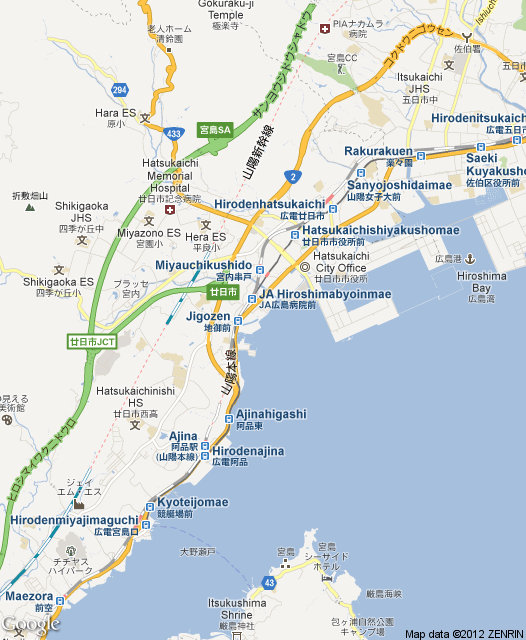
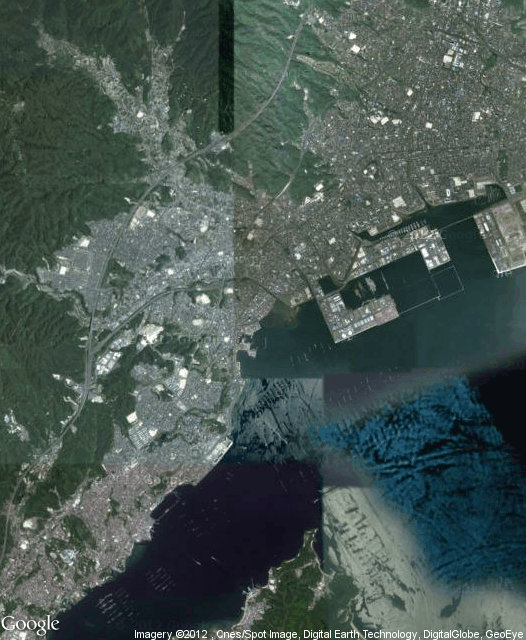
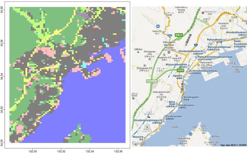
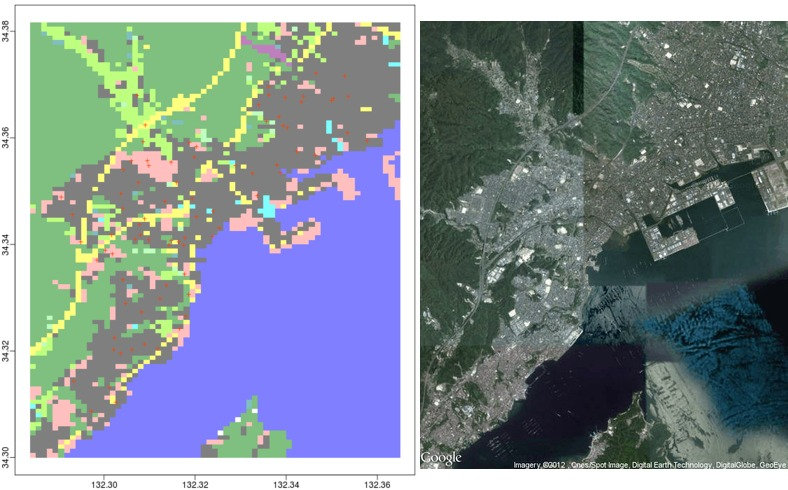
GetMap()
を使うと指定ややめんどうながら Google Maps から
地図を「きりとって」ダウンロードできる.
library(RgoogleMaps)
lon <- c(132.28375, 132.365)
lat <- c(34.300000, 34.381667)
center <- c(mean(lat), mean(lon))
zoom <- min(MaxZoom(range(lat), range(lon)))
map <- GetMap(
	center = center, zoom=zoom,
	destfile = "aagoogle.png",
	maptype = "roadmap", # maptype = "satellite", とすると衛星写真
	size = c(526, 640)
)


postgis
に少しとりくんでみる
……
インストールは簡単だが,
DB を構築したり shp2pgsql
でそれにアクセスするのが難しい
……